-
 Cumberland Beach (1975)
No funnel seen but a path of tree damage reported. No further details. Direction : UTM = 315° (NW-SE)
-
 Saint Paul's Station (1975)
No remarks about any funnel seen, but an area was badly damaged by a probable F1 tornado. Direction : UTM = 304° (NW-SE), Deaths: 0 (one cow), Damage Cost: $100,000’s
-
 St. Thomas (1975)
No funnel mentioned likely due to time of day. Damage seems high for F0 rating. (rooftops blown off?) Heavy hail reported that evening. Time: Late evening; cost: likely $10,000's
-
 Cambridge (1975)
TPSS with general location and general time, seems like few details known. Time listed as late evening
-
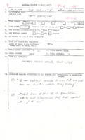 Sebringville (1975)
One witness account stating a tornado was seen. Damage was done to a trailer park. See listed newspaper for details. Time : Between 2:00 and 3:00PM
-
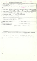 Sebright (1975)
Heavy rain and hail reported with storm. Eyewitness reported storm as a big black funnel. Track length <1mile
-
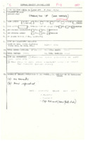 Storrington Township (Inverary) (1974)
Likely severe storm through area, “rained bucketsâ€. Trees uprooted in a localized area of damage, possibly a tornado. Cape Vincent, NY also reported damage. Time : 6:20 – 8:00PM (?)
-
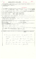 Tweed (1974)
Multiple witnesses to the storm, with some claiming to have seen funnel cloud (newspaper) although claims were denied years later. Damage indicated winds likely in excess of 100mph were possible. (source?) One person described the damage in the village as “it looked like a bomb went offâ€. “incredible noise†“it sounded like a locomotive coming down on the house†Possibly a rain-wrapped tornado. Time : 6:00-6:30PM (newspaper says shortly after 7PM), Direction : 233° (SW-NE)
-
 Tilbury (1974)
No funnel seen but a “violent wind lasting 10 seconds†(probable tornado) ripped through a trailer park west of Tilbury, demolishing some mobile homes. likely >$100,000
-
 Sarnia (1974)
TPSS with general location and time, with reference – see for details. Funnel cloud witnessed by marching band.
-
 Warwick (1974)
Found on Warwick History website: http://warwickhistory.ca/families/firman.html To be determined if this was a tornado which was not entered into EC’s database.
-
 Seaforth to Dublin (1974)
Witnesses described the storm as having a strong suction. A man was briefly sucked out of his house during the storm. Local persons and police reported the tornado, but no witnesses were spoken to at the EC damage survey. Direction : UTM = 239° (WSW-ENE); Damage Cost: likely >$500,000
-
 Windsor (1974)
The sixth deadliest tornado in Canadian history and the second in Ontario. Tornado part of the “super outbreakâ€. Originally rated an F3 but later downgraded as part of the damage in the states was accidentally mixed in to research for Windsor. As well, the curling club building was later found to be un-reinforced and therefore contributed to the collapse of the walls. The Devonshire Mall in Windsor was also hit by the tornado and suffered structural damage as an addition of the building was under construction at the time. Track Length : UTM = 23.64km (14.69mi) re-assessment = 22.63km (14.06mi), Direction : 215° (SW-NE)
-
 Port Hope (1973)
Probable brief touchdown on a property in north Port Hope. Spotty damage was reported along the shoreline communities of Northumberland County and east. Many power outages reported. Noted in newspaper 78mph (125km/h) winds were recorded in Muskoka and up to 55mph (88km/h) elsewhere as massive storm system (likely squall line) raced across Southern Ontario. Track Length : brief touchdown(s), Direction : N/A° likely W-E, Damage Cost: N/A, likely <$5,000
-
 Bayfield to Atwood (1973)
Possible long track tornado spawned from likely squall line with embedded supercells off Lake Huron. Witness in Bayfield described seeing a “jet black†sky above and funnel clouds forming to the east (west?). (if from east, tornado may not have been on the ground at Bayfield?) Brussels to Arthur tornado could be and extension of this track as they line up well on map. For the track length, it is likely the tornado skipped along the path. Direction : 260° (W-E), Damage Cost: N/A, likely >$50,000
-
 Brussels to Arthur (1973)
It is conceivable that this is an extension of the Bayfield to Atwood possible tornado. Either way, patches of damage were evident over a linear distance of just over 100km as a result of the storm. No funnel mentioned in this area, but an eyewitness in Bayfield saw funnels forming to the east. Many properties were damaged from Atwell/Brussels area to Listowel and south and east of Arthur. Direction : 255° (WSW-ENE), Damage Cost: “many thousands†(likely >$250,000)
-
 Teviotdale (1973)
Spotty damage in the Teviotdale area and it could be that there were two tornadoes separated by about 1km N-S. The tornado was likely occurring at the same time and 9km north of the long tracking tornado that evening which hit Listowel, Palmerston, and Arthur. Time listed as approximately 21:00, Direction : N/A° likely W-E; Approximately $50,000
-
 Hensall (1973)
Probably a brief touchdown occurred in Hensall, south of where most of the tornadic activity was from Bayfield and ENE during the storm. Time listed as late evening, Direction : N/A° likely W-E, Damage Cost: “thousands†($12,000)
-
 Bolton (1973)
Considerable damage inflicted on two steel and concrete block buildings in an industrial area of Bolton. Likely a brief spin-up spawned from the tornadic storm(s) which came across from Lake Huron earlier in the evening. Due to time of night this possible tornado was not witnessed. Time listed as night (likely just before midnight), Direction : N/A° likely W-E, Damage Cost: N/A, likely $10,000s
-
 Duke Lake to Friday Lake (Spanish River) (1973)
Long track violent tornado. Swath of damage found on Highway 144 NW of Sudbury prompted an aerial investigation of the area. Upon flight over the region, a well defined and obvious convergent pattern of rotary damage was seen from Arden Township to Rhodes Township, a distance of almost exactly 60km, all of which is rugged bush peppered with lakes and rivers. It was noted that a number of camps/cabins had disappeared altogether - this kind of damage is synonymous with an F4 rating (structures with weak foundations blown away some distance). One camp was reduced to a pile of rubble. Another cabin had its roof removed. It was also mentioned that the damage from this tornado was likely higher than that of the Sudbury tornado of 1970 which was rated an F3. Some points along the damage path measured approximately 1800 yards (1.6km) in width, indicating a probable maxi-wedge type storm. Time : Morning (Before10:00AM) (Or late Sunday evening), Direction : UTM = 319° (NW-SE), Damage Cost: N/A, likely $1,000s
-
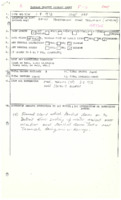 Tecumseh (1973)
Funnel cloud touched down on the Detroit River and was seen sucking up water. It lifted over the city of Windsor and touched down again twice near Tecumseh. Only minor damage was reported – see newspaper. Direction : N/A°, likely SW-NE or WSW-ENE
-
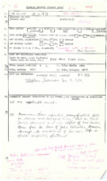 Kirkfield (1973)
One witness who heard the tornado, said “it sounded like a freight trainâ€. Golf ball sized hail was reported with the storm. In Bolsover, a boy who was trying to put up the awning on his family’s boat suffered a serious skull fracture when a tree came crashing down onto the vessel. This likely was not a tornado related injury. Time : 3:30 – 4:00PM - newspaper = 6:30PM, Direction : UTM = 318° (NW-SE)
-
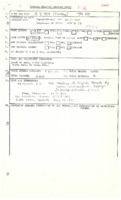 Brighton (1973)
At 4:45PM a thunderstorm erupted over Lake Simcoe and began tracking ESE, likely attaining severe strength by the Peterborough area. From there, it intensified into several cells just before reaching Lake Ontario where it produced the Brighton tornado. – D.G. Peterson A newspaper article described some of the damage and according to it, the Old Town Hall in Brighton was “reduced to a pile of rubbleâ€, however most the front of the building was left standing as it was all brick construction. Could have possibly been F3 damage due to the town hall collapse (“roofs and some walls torn off well constructed housesâ€) and a car of unknown weight was thrown. (if heavy car, F3 applies) Direction : Approx. 290° (WNW-ESE) storm motion
-
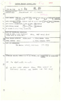 St. Marys (1973)
TPSS with location, time, and damage with references
-
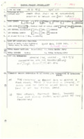 Wallaceburg (1973)
“Ties Scholtens of Becher said he observed a cloud funnel about a half-mile in diameter. It passed over the combine he was driving and he saw it hit the Rosseel Barn.†Max Width : Unknown (1/2mi?), Direction : 219.4° (SW-NE)

