-
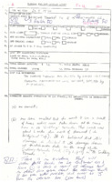 Bridgland Township to Matinenda Lake (1970)
A swath of trees down was observed by locals near Bridgland Twp. It was believed that this was linked (and possibly the beginning of the swath of tree damage found at Matinenda Lake 60km east and ultimately the first damage observed from the long tracking supercell responsible for the Sudbury F3 tornado. TPSS is somewhat confusing as attempts were made to sort out the track. This file needs some work. Time : Approx. 6:00AM – 6:43AM (assuming storm motion was 85km/h), Direction : UTM = 272° (W-E)
-
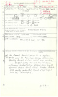 Windsor (East) (1970)
Tornado touched down in a soybean field near the intersection of Tecumseh Rd E and Lauzon Rd in east Windsor and was accompanied with a “violent deluge of rainâ€. A couple watched the tornado track towards their property and wreck their barn. It also wrecked the partly constructed Church of God Gospel Hall. The damage mentioned may warrant a higher F rating if the barn was a fully functional well built one. Track Length listed as <1mile; “$2-3 thousandâ€
-
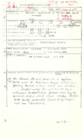 Windsor (South) (1970)
TPSS with general location, (may have been near Howard Ave South of Laurier Pky.?) time, and references.
-
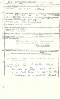 Lake of Bays (1970)
TPSS is in need of work. Report of tornado touchdown with swaths of trees downed either in Muskoka or Haliburton. (maybe both?) Possible tornado at this point.
-
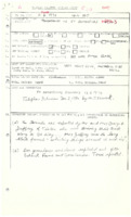 St. Catharines (1970)
On the afternoon of the 11th, an isolated supercell developed over Lake Ontario and tracked SSE toward the eastern end of the Niagara Peninsula. After it had made landfall, a funnel cloud dropped from the western side of the storm and touched down just to the NW of the intersection the QEW and Seventh Street Louth. It was at this point that about 20-30 drivers were stopped on the QEW as visibility was reduced to nil in the area. One couple who were stopped noticed the tornado just off the highway as a long black funnel whirling debris in the air. They decided to flee once they had seen it coming toward them. The tornado then crossed the QEW and hit a large greenhouse operation near Second Ave and Third St Louth causing many windows to explode and damaging ventilation equipment. As it continued its track south-southeastward it mainly damaged trees, uprooting many before petering out near Fifth Ave and First Street Louth. Note: During the early parts of the storm, as it made landfall, heavy rains were occurring along the QEW in Beamsville. It was at this time at which a 57 year old woman crossed the median of the highway at the Lincoln Ave traffic lights and collided head on with another vehicle, killing her. This was only casualty related to the storm. Extremely heavy rains (2.35in recorded) in St. Catharines caused an estimated $100,000 - $500,000 in flood damage to buildings in the area. Wide power outages in the city due to high winds were also felt and attributed to the flooding of basements. Track Length : UTM = 4.49km (2.79mi) TPSS <1mile (likely incorrect), Direction : UTM = 338° (NNW-SSE); likely $1,000s
-
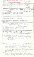 Richmond Hill (1970)
A mother and son witnessed the probable tornado coming through with a roar over an open field. The description given was congruent with tornadic characteristics. Two men in a nearby ambulance garage tried to hold down the building as it was being lifted, but then took cover as a billboard was sent crashing down. The garage was then lifted to “roof level†and clipped the top edge of an industrial building which then allowed the roof covering to peel off, exposing the interior to rainwater. No injuries were reported. Direction : 264° (W-E)
-
 Sebringville (1970)
An intermittent path of damage almost 14km long was found south of the Sebringville area after a tornado was observed skipping through the bush. Unknown condition of barns which lost their roofs – likely strong F0 or possibly an F1? Track Length : UTM = 13.5km (8.39mi) TPSS = 14km (8.7km) (intermittent damage), Direction : 251° (WSW-ENE); Damage Cost: likely >$10,000

